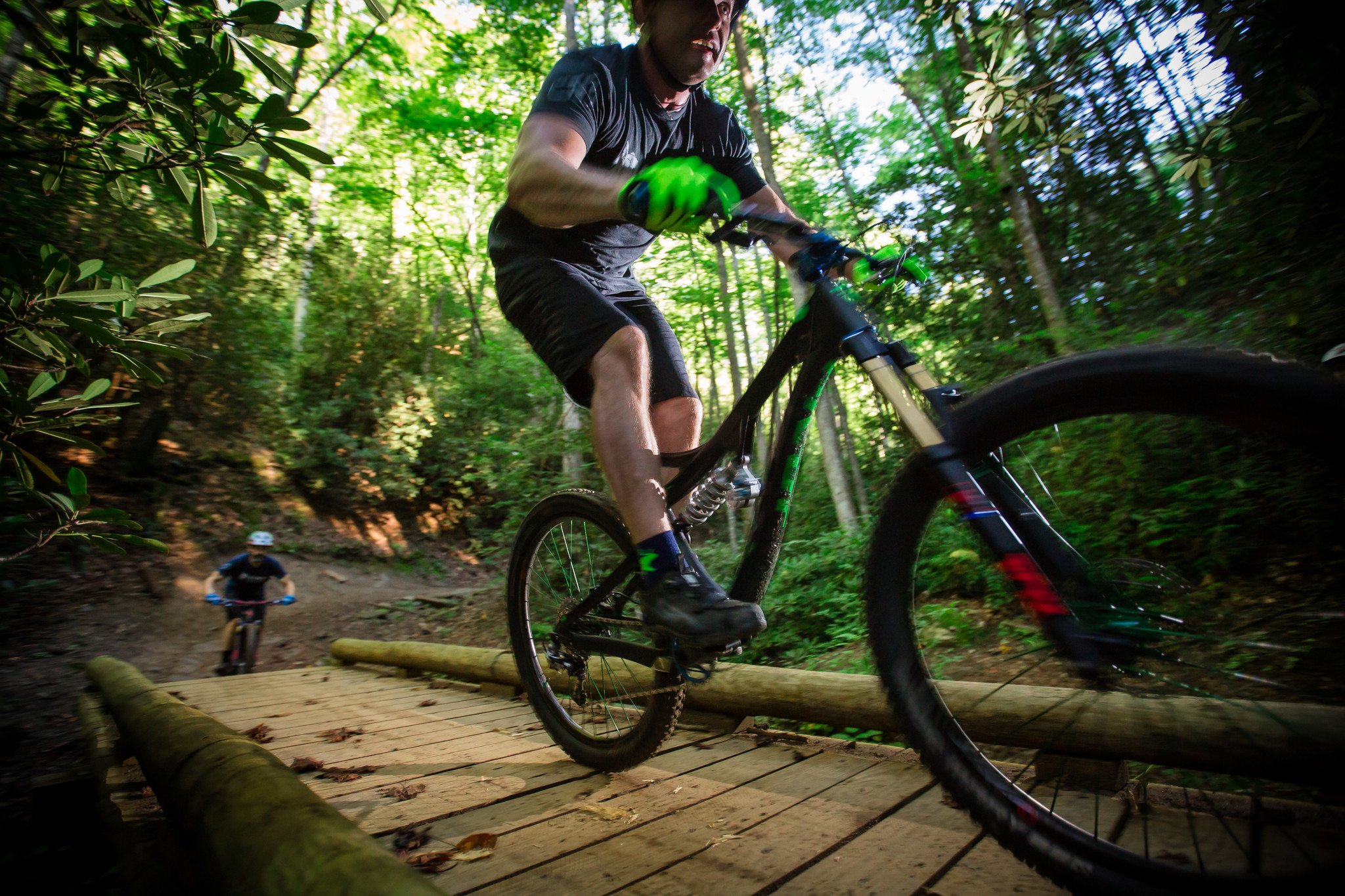
MTB: the symbiotic relationship of Peace & Exhilaration
Your cart is currently empty
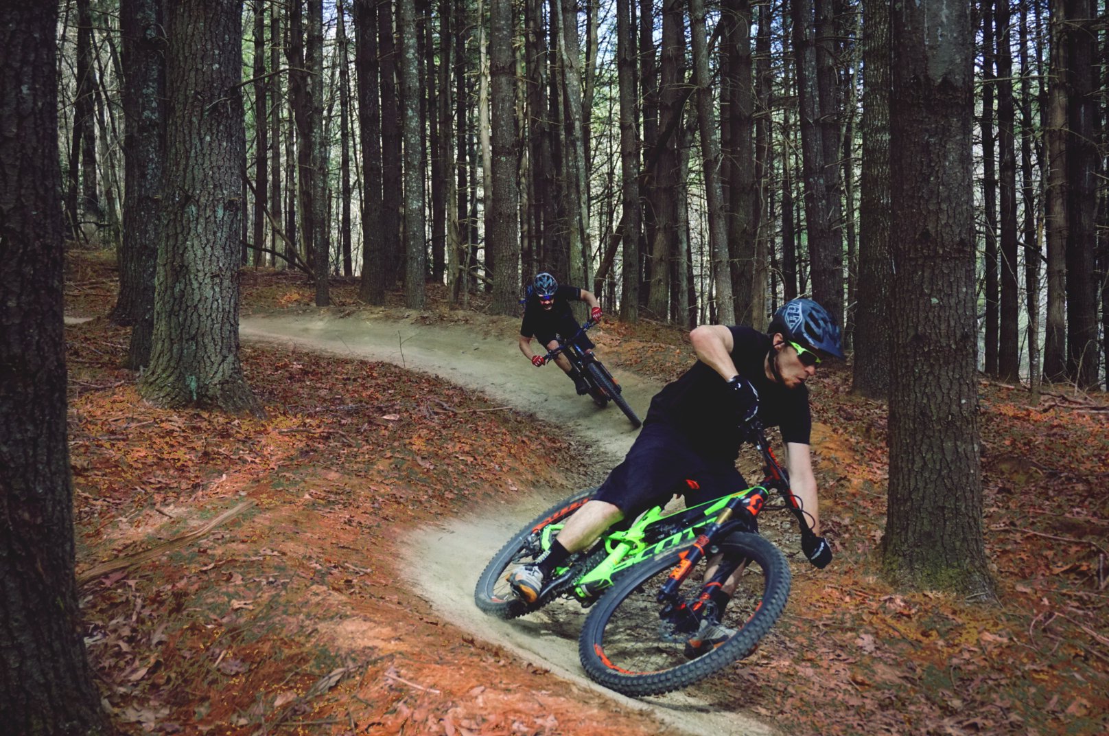
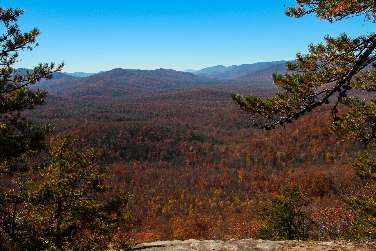
Lake Imaging Loop Trail
Description of ride: Flowing trails with tranquil views along a world famous ridge line
Difficulty level: ![]()
![]()
![]()
![]()
![]()
Directions to parking lot: From Brevard, NC turn south 2.6 miles on DuPont Road that turns into Staton Road to the Lake Imaging Access Area on the left.
Ride instructions: Leave parking area behind kiosk and go through gate. Continue down Lake Imaging Rd. Left on Jim Branch. Right on Isaac Heath. Right on Locust. Right on Lake Imaging Rd. (very short distance). Left on Hilltop (this really just continues straight from Locust to Hilltop). Right on Lake Imaging Rd. Left on Buck Forest Rd. Left on White Pine Rd. Left on Hooker Creek. Left on Ridgeline (Option: Right on Ridgeline to second left on Hickory Mountain Loop. Right on Ridgeline) Right on Lake Imaging Rd. and through gate back to parking lot.
Lake Imaging Loop Trail
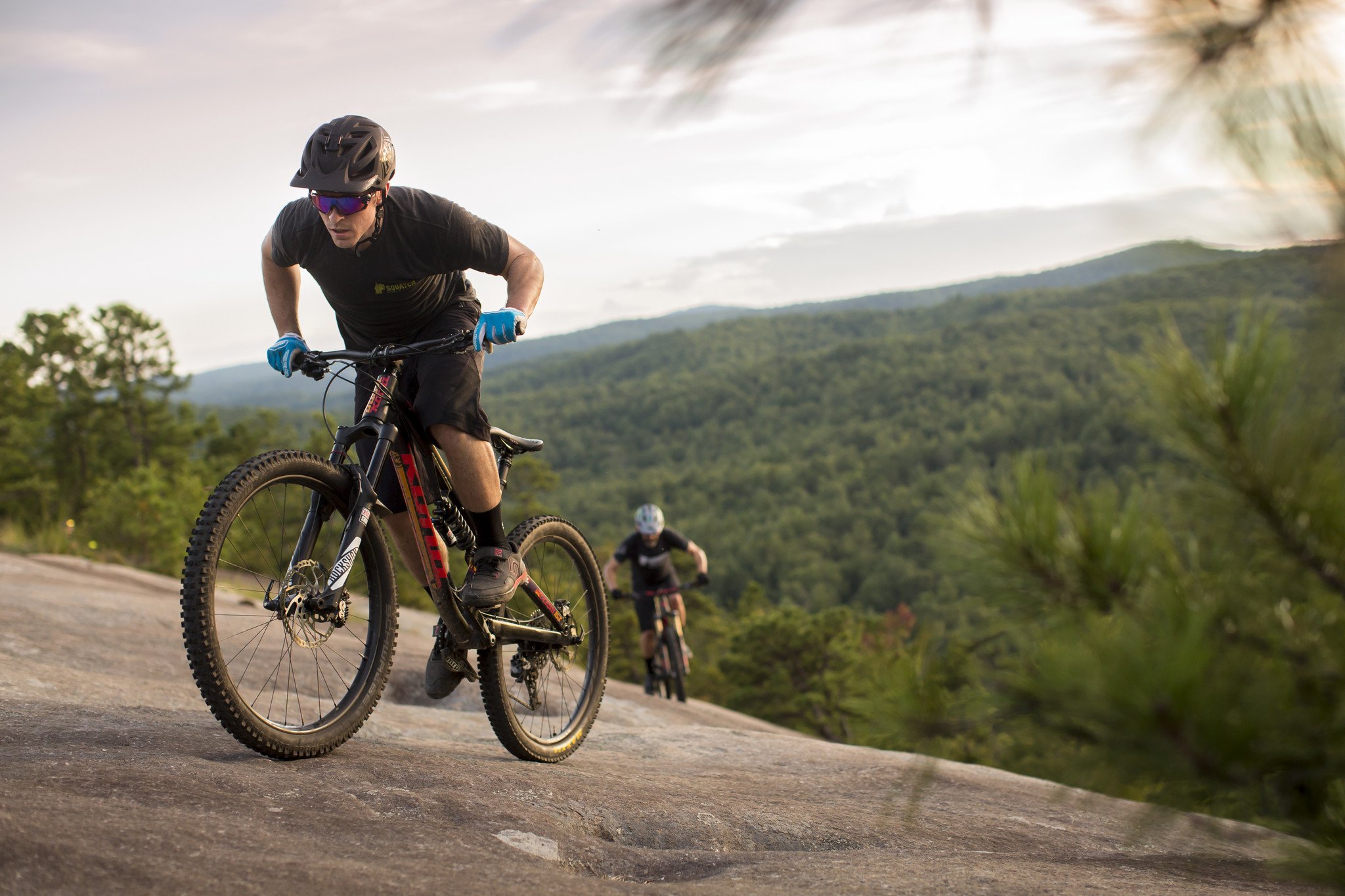
Corn Mill Shoals Loop Trail
Description of ride: Slick rock climb with epic views at the top
Difficulty level: ![]()
![]()
![]()
![]()
![]()
Directions to parking lot: From Brevard, NC turn south 5.3 miles on DuPont Road that turns into Staton Road. Go past the Hooker Falls and High Falls Access Areas to a left at the end of Staton Road on Cascade Lakes Road. The Corn Mills Shoals Access Area is 0.8 miles on the right.
Ride instructions: Leave parking area and cross Cascade Lake Rd. Go through gate and continue on Corn Mill Shoals. Second right on Burnt Mountain (clockwise loop). Right on Corn Mill Shoals (short distance). Left on Little River. Second left on Cedar Rock (at power line). Right on Big Rock. Right on Corn Mill Shoals. Right on Longside. Left on Twixt. Right on Cascade Lake Rd. (very short distance). Left on Rock Quarry Rd and through gate. Left on Buck Ridge Rd. Left on Micajah. Right on Wilkie. Left on Cascade Lake Rd. back to parking lot.
Corn Mill Shoals Loop Trail
Fawn Lake Loop Trail
Description of ride: Great mellow ride with lake views and awesome overlook of Bridal Veil Falls (pictured below)
Difficulty level: ![]()
![]()
![]()
![]()
![]()
Directions to parking lot: From Brevard, NC turn south 5.3 miles on DuPont Road that turns into Staton Road. Go past the Hooker Falls and High Falls Access Areas to a left at the end of Staton Road on Cascade Lakes Road. Go 2.5 miles past the Corn Mills Shoals Access Area to a left on Reasonover Road just before US-276. The Fawn Lake Access Area is 2.8 miles on the left.
Ride instructions: Right on Fawn Lake Rd. Straight across Conservation Rd. and onto Reasonover Creek. Right on Turkey Knob Rd. Left on Turkey Knob Trail. Right on Briery Fork. Straight across Joanna Rd. and onto Grassy Creek. Left on Sandy (Option: Right on Sandy then right on Wintergreen Falls to visit the falls). Left on Tarklin Branch Rd. Left on Thomas Cemetery Rd. Left on Buck Forest Rd. Left on Conservation Rd. Left on Pitch Pine. Left on Three Lakes. Left on Conservation Rd. Right on Bridal Veil Falls Rd. Left on Corn Mill Shoals. Left on Laurel Ridge. Right on Mine Mountain. Right on Fawn Lake Rd. back to parking lot.
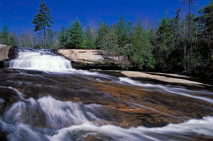
Bridal Veil Falls
Image source: Kevin Adams Photography at kadamsphoto.com
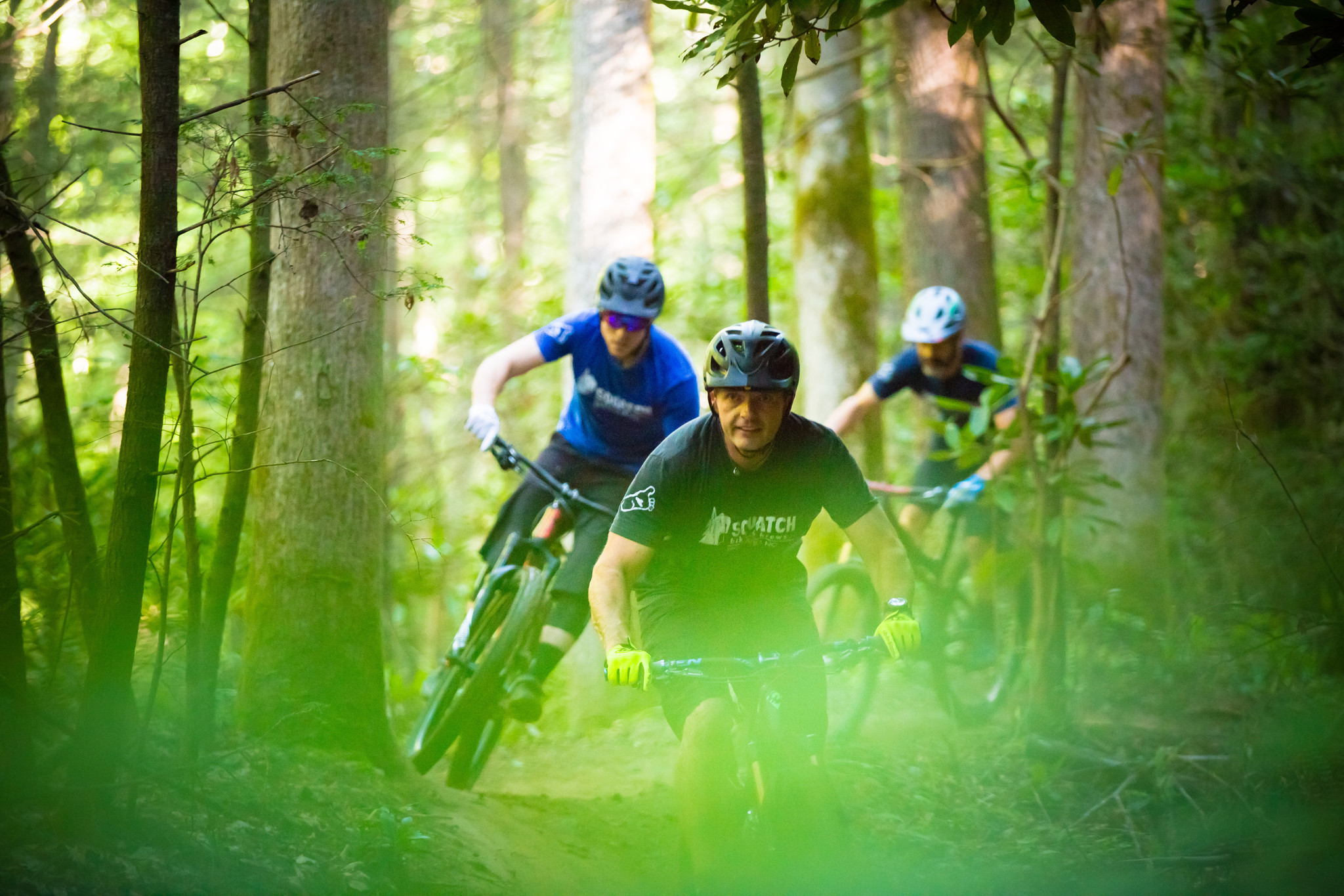
Cove Creek Trail to Daniel Ridge Trail
Description of ride: Fun climb with gorgeous waterfalls and a rowdy descent with awesome river views
Difficulty level: ![]()
![]()
![]()
![]()
![]()
Directions to parking lot: From Brevard, NC enter the Pisgah National Forest onto US-276 N. After 5.3 miles, take a slight onto National Forest 475 Rd. After 1.4 miles the parking lot for the Pisgah Center For Wildlife Education and Fish Hatchery will be on your left.
Ride instructions: From Fish Hatchery, leave parking area and turn left on Davidson River Rd. (FS 475) Left on Davidson River Trail and through gate. Left on Davidson River Rd. (FS 475) (short distance). Right at Cove Creek Group Camp Rd. and through gate. Stay right and take bridge over creek. Left on Cove Creek Trail (shortly after this left, the trail makes a hard right through a creek). Continue straight on FS 225B. Go through gate and left on FS 225. Continue on FS 225 and through gate. Right on Daniel Ridge. Left on Daniel Ridge at Farlow Gap intersection. Go through gate then left on Davidson River Rd (FS 475). Right on Davidson River Trail. Through gate then right on Davidson River Rd. (FS 475). Right into Fish Hatchery parking lot.
Thrift to Lower Black, & Grassy to Sycamore Trails
Description of ride: Awesome, moderate introduction to Pisgah riding
Difficulty level: ![]()
![]()
![]()
![]()
![]()
Directions to parking lot: The Thrift Cove parking area is located directly across from the entrance of Davidson River Campground in the Pisgah National Forest.
Ride instructions: Through gate continue on Thrift Cove (FS 5061). Continue straight on Black Mountain Trail. Left on Thrift Cove (FS 5061). Right on Grassy Road (FS 5061A). Right to do Lower Sycamore Cove (Option: Left to do Upper Sycamore Cove) Right on US 276. Right at Thrift Cove parking lot.
Lower Black Trail
Laurel Mountain Trail to Pilot Rock
Description of ride: If you're up for a challenge, this ride is a strong climb with a very rocky switchback descent
Difficulty level: ![]()
![]()
![]()
![]()
![]()
Ride instructions: Start ride from Yellow Gap Rd. (FS 1206) at the Pilot Rock Trail. Continue east on Yellow Gap Rd. (FS 1206) Left on Laurel Mountain Trail. Left on Laurel Mountain Connector. Left on Plot Rock Trail. Finish at bottom of Pilot Rock and FS 1206 where your ride began.
View from Pilot Rock | Image source: internetbrothers.org
Clawhammer to Black Mountain Trail
Description of ride: A classic Pisgah trail with a moderate climb and raw trail descent
Difficulty level: ![]()
![]()
![]()
![]()
![]()
Directions to parking lot: The Thrift Cove parking area is located directly across from the entrance of Davidson River Campground in the Pisgah National Forest.
Ride instructions: From the Thrift Cove parking area, turn right out of parking lot on US 276. Right on Avery Creek Rd. (FS 477). Right into Horse Stables parking area. Right on Clawhammer Rd. (FS 5058) and through gate. Right on Black Mountain Trail. Right on Thrift Cove (FS 5061). Through gate into parking lot.
Clawhammer to Black Mountain Trail
Bennet Trail
Description of ride:
Difficulty level: ![]()
![]()
![]()
![]()
![]()
Directions to parking lot: From Brevard, NC enter Pisgah National Forest on 276. After 2.2 miles turn right on National Forest Rd. After 1.7 miles, the Pisgah Forest Riding Stables will be on your left.
Ride instructions: Start ride at the Horse Stables. Right on Avery Creek Rd. (FS477). Left on Bennett Gap Trail and through gate. Left on Avery Creek Rd. (FS477). Right into Horse Stable parking lot.